
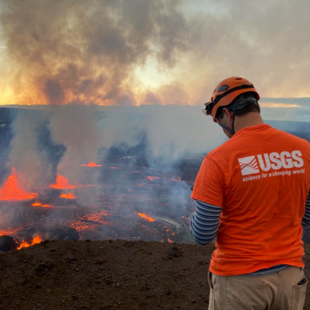
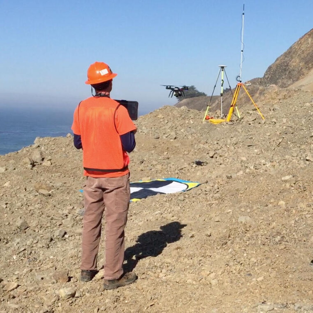
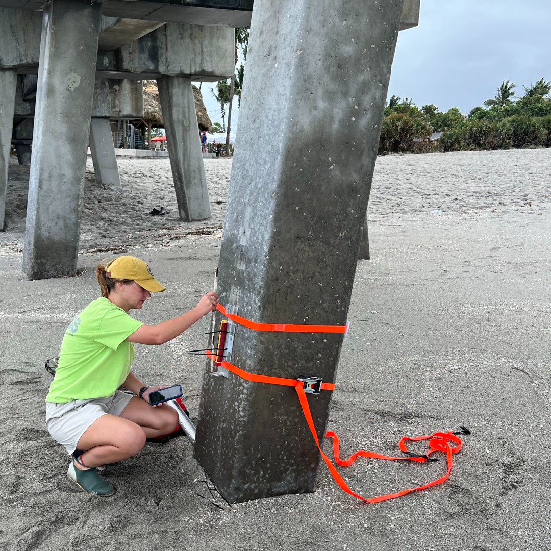
Preparedness starts with good information. Before, during and after natural hazards, emergency managers need reliable information to understand what’s happening and make informed decisions. USGS scientists collect, monitor, and analyze data on hazards such as earthquakes, floods, landslides, and volcanoes. We provide that science and data to emergency managers and other partners to help them prepare for and respond to hazards and their potential impacts on communities. 📷 1: Following the 2019 Ridgecrest earthquake sequence in California, USGS scientists worked with partners to document fault ruptures at the Earth’s surface. Here, USGS research geologist Belle Philibosian measures a fault offset in the Ridgecrest area. Credit: Katherine Kendrick, USGS 📷 2: In June 2023, USGS Hawaiian Volcano Observatory scientists monitored the ongoing Kīlauea summit eruption from an area of Hawai‘i Volcanoes National Park closed to the public for safety. Credit: USGS 📷 3: In October 2017, USGS scientists used a drone to capture photos and video of the Mud Creek landslide along California’s Big Sur coast. Credit: Shawn Harrison, USGS 📷 4: On October 7, 2024, USGS hydrologic technician Julie Hobbs installed a wave sensor near Venice, Florida, ahead of Hurricane Milton’s projected landfall along Florida’s Gulf Coast. Credit: Sean Townsend, USGS #NationalPreparednessMonth 📷 📷 📷 📷
published
Preparedness starts with good information. Before, during and after natural hazards, emergency managers need reliable information to understand what’s happening and make informed decisions. USGS scientists collect, monitor, and analyze data on hazards such as

Open the original public source →
Latest documented BWB result
$META market result
I sold the $META $655 Puts 9/25 for $7.60
Historical results are not a promise of future performance. Trading involves substantial risk.This public post is a timestamped information archive, not personalized financial advice. Alerts can change as markets move. Join Billy's private group for the complete daily stream and follow-through.